About Site Scan for ArcGIS - LE
Site Scan for ArcGIS Limited Edition (LE) is a simplified version of the Site Scan for ArcGIS Flight Planning App, built for ArcGIS Drone2Map users, that allows you to easily capture rich imagery using advanced drone...
Site Scan for ArcGIS Limited Edition (LE) is a simplified version of the Site Scan for ArcGIS Flight Planning App, built for ArcGIS Drone2Map users, that allows you to easily capture rich imagery using advanced drone flights.
Use your favorite maps and layers from ArcGIS Online to plan accurate missions in Site Scan for ArcGIS - LE. Process your images in ArcGIS Drone2Map or an alternative stitching software to create 2D and 3D data products. Experienced pilots can use Terrain Follow, which enhances imagery quality by adjusting the drone's height to follow the terrain.
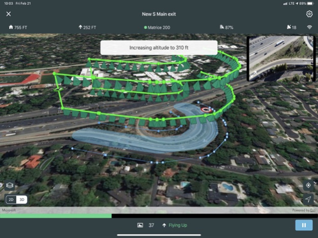
Choose from a variety of flight modes tailored to the type of site being scanned, and the app will automatically define the optimal flight path and allow you to preview it in 2D or 3D.
The app automatically conducts aircraft checks and executes the flight. Long flights are automatically split, allowing you to change your drone’s battery and resume where you left off.
Compatibility:
- Requires compatible drone: DJI P4 Advanced, DJI P4P, DJI P4P V2, DJI P4 RTK, Mavic Pro, Mavic 2 Pro, M200 series, M200 series V2, Inspire 2, DJI M300RTK.
- Requires ArcGIS Drone2Map or other image processing software to create 2D and 3D data products
- ArcGIS Online subscription required
Apr 26, 2022
Version 4.3.1
- DJI M300RTK support with P1 camera
- Flight speed setting
- Define mission area from polygon
- iOS 15 Support
- Retire support for H520-G drone and Zenmuse Z30 camera
- Additional bug fixes
Previous Versions
Here you can find the changelog of Site Scan for ArcGIS - LE since it was posted on our website on 2023-09-06 19:08:21.
The latest version is 4.3.1 and it was updated on 2024-04-22 18:50:31. See below the changes in each version.
Site Scan for ArcGIS - LE version 4.3.1
Updated At: 2022-04-26
Changes: Apr 26, 2022
Version 4.3.1
- DJI M300RTK support with P1 camera
- Flight speed setting
- Define mission area from polygon
- iOS 15 Support
- Retire support for H520-G drone and Zenmuse Z30 camera
- Additional bug fixes
Disclaimer
Official App Store Link
We do not host Site Scan for ArcGIS - LE on our servers. We did not scan it for viruses, adware, spyware or other type of malware. This app is hosted by Apple and passed their terms and conditions to be listed there. We recommend caution when installing it.
The App Store link for Site Scan for ArcGIS - LE is provided to you by apps112.com without any warranties, representations or guarantees of any kind, so access it at your own risk.
If you have questions regarding this particular app contact the publisher directly. For questions about the functionalities of apps112.com contact us.